How does drone mapping compare to traditional surveying methods?

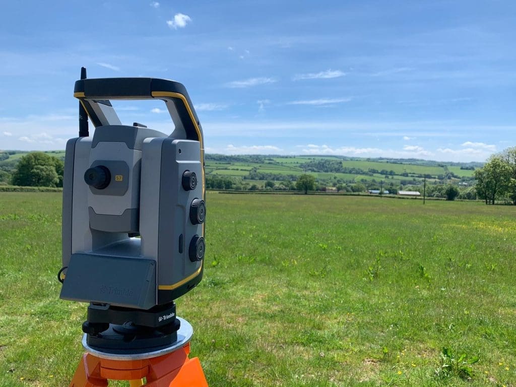
Surveying is a vital part of construction, infrastructure, and asset management. Traditionally, land surveys have been carried out using tools such as total stations, GNSS equipment, and levels. While these methods remain trusted and widely used, drone mapping has emerged as a powerful alternative – especially when projects demand speed, scale, and enhanced safety. In […]
A guide to topographic surveys
Understanding the layout and features of a site is a critical first step in any construction or development project. Topographic surveys, also referred to as land surveys, site surveys, or terrain mapping, play a vital role in this process, offering detailed insights into the physical characteristics of a given area. Whether you’re planning a commercial […]