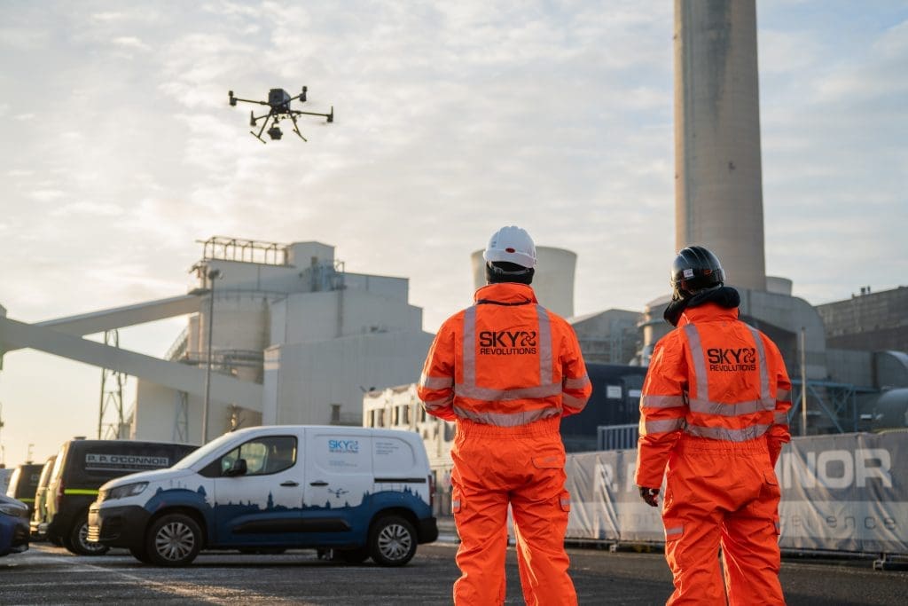
Sky Revolutions deliver unique perspectives for the construction, utilities, energy and facilities sectors. Discover how we can help you to work smarter, faster and more cost-effectively
Sky Revolutions is one of the UK’s most authoritative voices in surveying, timelapse film production, aerial photography and filming, and drone pilot training.
We’re known for our construction knowledge and expertise, which is why we’re quickly becoming the go-to company for all surveying, filming, and training services for a wide variety of sectors.
Construction knowledge at our core
Our versatile, cost-effective drone imaging solutions are perfect for marketing materials, events, portfolios, construction projects, and more.
At Sky Revolutions, we deliver precise, reliable, and comprehensive land surveys tailored to meet your project’s unique needs.
Trusted by industries such as construction, utilities and mining, our surveys are fast, cost-effective, and tailored to your specific needs.
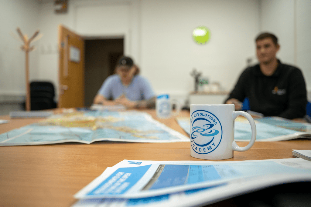
We’re passionate about the future of the drone industry. Our Academy offers courses to train as a drone pilot or enhance your skills.
Showcasing onsite visibility and progress over a period of time in a matter of minutes, through a branded online portal.
If you’d like to discuss any projects with us, please get in touch and one of our team will be happy to help.
The difference between average and outstanding
We are a dedicated team of professionals with decades of experience in construction surveying and in the drone industry. We are valued for our specialist surveying skills, which allow us to offer effective advice and data interpretation, as well as filming, mapping and CAD services.
Full range of surveying and filming services, whether that be drone or land surveys, aerial filming, or fixed mast photography.
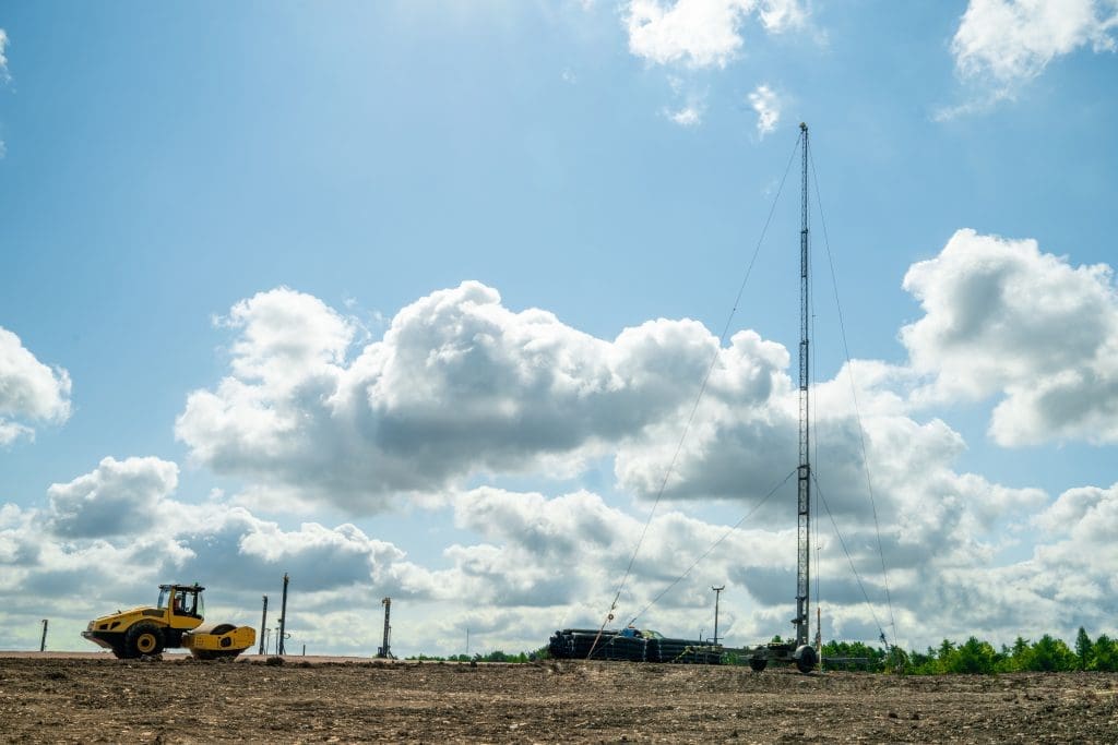
State of the art mast, drone, and camera technology.
Highest trailer mounted masts for timelapse in the UK (up to 30m).
Ability to deliver live content via customer-branded portals.
In-house AutoCAD technicians produce comprehensive image datasets.
The first carbon neutral drone company in the world.
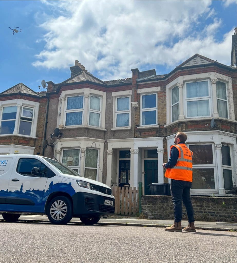
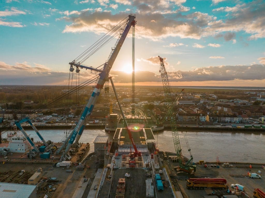
Construction site imaging is becoming increasing popular due to the efficiencies of site monitoring using high-level cameras and drones. We offer outstanding quality aerial film and photography for commercial, residential, and civil engineering projects that help actively promote build progress and keep stakeholders up to date.
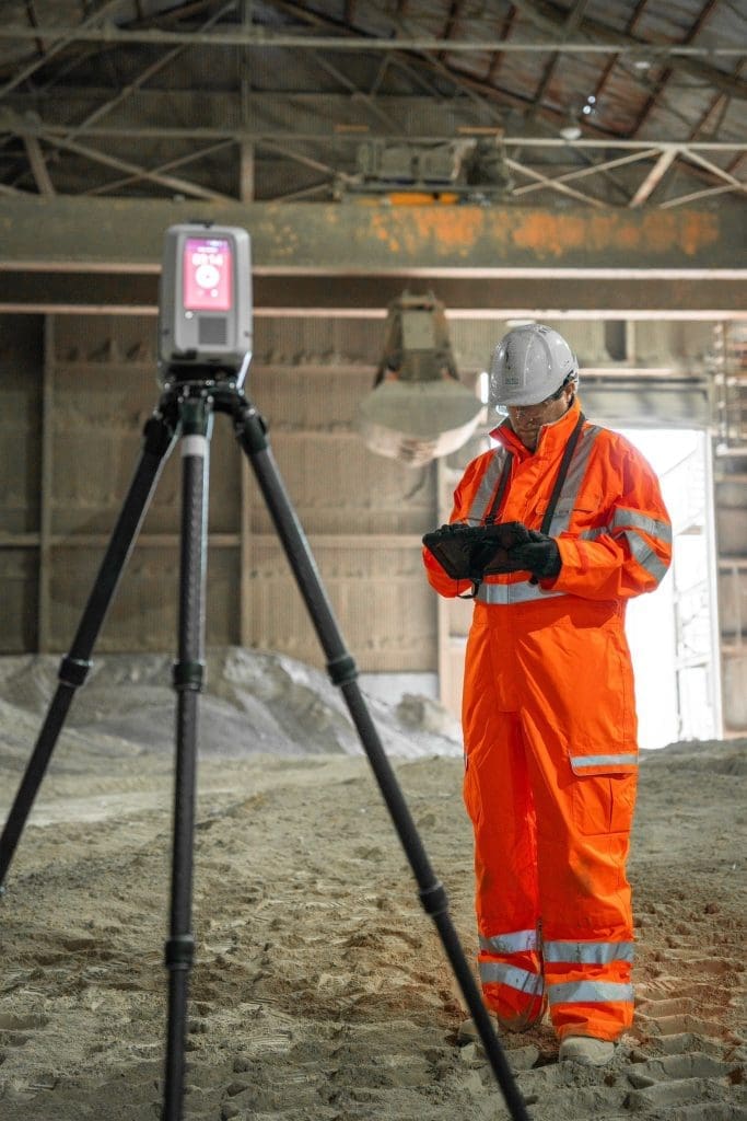
Drone surveys (sometimes referred to as aerial surveys), measured building surveys, condition surveys and topographic surveys provide highly accurate representations of your project and our construction expertise means we provide considered observation and insight.
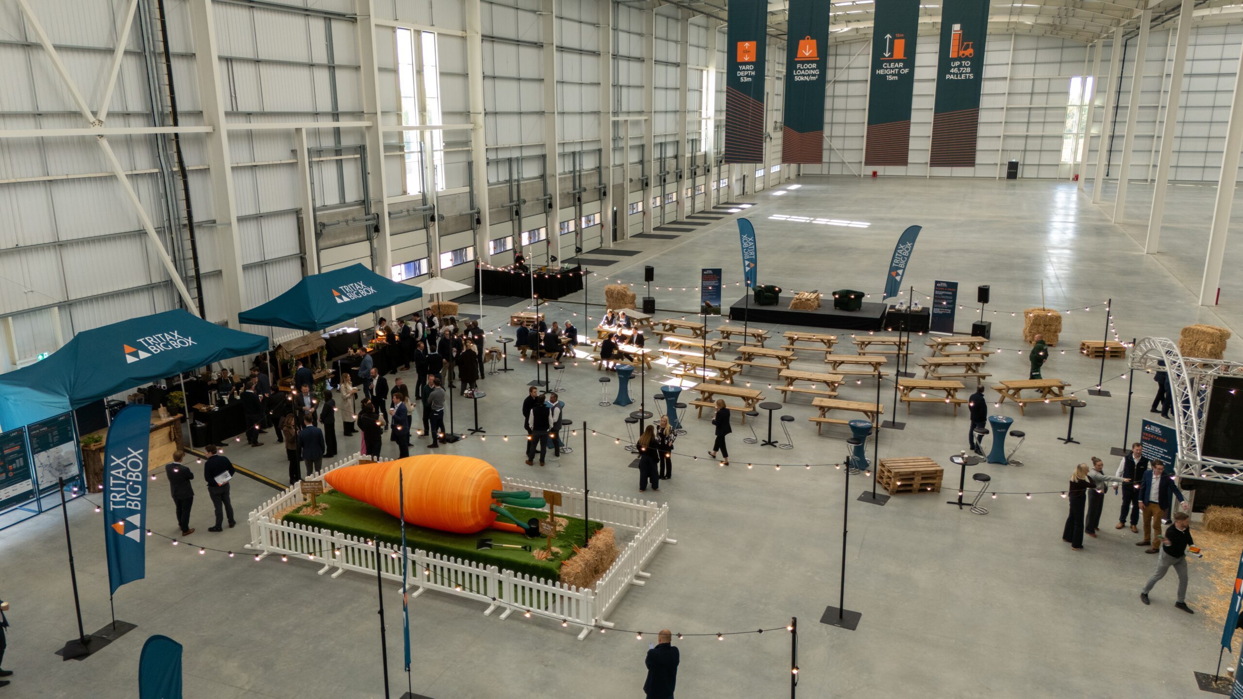
We can give a fresh perspective to your logistics and industrial construction sites. We’ll capture drone and timelapse content to give your big-box marketing activity an edge – building anticipation with customers and potential customers.
Our team of industry experts, surveyors, drone pilots, editors and technical staff will be able to tailor the service they offer to meet the needs of your business.
As the only UK construction imaging company with high-level camera masts of up to 30m high, Sky Revolutions will really go above and beyond for your build.
Operating sustainably is an important focus for many logistics and industrial companies, and it is to us too. That’s why we’re so proud of our carbon neutral status (we were the first carbon neutral drone company in the world!)
We work with several local government authorities, supporting them to meet their requirements for planned preventative maintenance within tight budgets.
We have experience with the pre-planning surveying work for schools and academies, as well as offering land surveying services to create up-to-date drawings for improvements to public sector buildings.
By using our drone services, it reduces the requirement for putting up scaffolding and having people working at heights, so we can not only save you money and time, but also reduce risk.
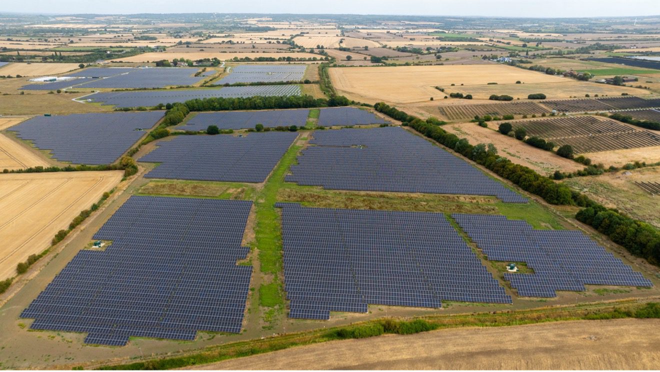
We offer valuable services for wind turbine inspections, solar site and solar panel inspections, overhead powerline surveys, land surveys, and panoramic and 360 image site or site progress requirements.
UAV or drone surveys allow asset managers to visually access large areas of inaccessible land or difficult-to-access assets. High resolution and topographical imagery provide very high-quality data for faster decision making.
The benefits of using drones to capture data in the energy and renewables sector are well documented. At-height working risk is greatly reduced, and the subsequent cost-savings are considerable. We ensure our processes and standards always reflect industry best-practice.
Aerial event footage captured by drone generates some of the most captivating content available, anywhere. But when you don’t have the opportunity to rehearse, or the chance for second takes, getting it right first time is critical.
Getting to the heart of the action might sound simple, but our experienced industry experts and can make recommendations as to the most effective angles. Put simply, we know what we’re looking at and how to make the most of the action.
We produce creative films with overlaid graphics and music for added impact; content that is targeted to specific platforms to showcase the projects within your business.
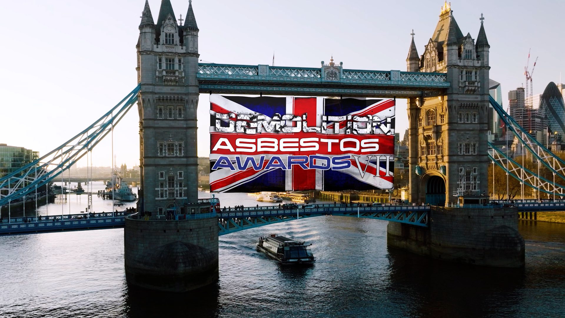
We can also install timelapse cameras to capture the progress of your demolition which can be viewed in a branded online portal, and we then produce a fully edited film detailing your finished project.
Facilities managers need to know the condition of the building internally and externally, to plan any remediation work required.
Our team are trained to identify defects in the condition of your building, and then we can provide a detailed report outlining any remedial issues to pass to structural engineers or surveyors for review.
We can support you with planned, reactive maintenance and planned preventative maintenance (PPM), using the latest equipment and technology.
We offer underground utility services throughout the UK, removing the need to rely on old, incomplete, unclear or even unavailable information.
Identifying the precise location and depth of existing utilities underground is vital for utility companies working within a site. It allows contractors to work with confidence and avoid any costly errors.
Utility surveys are often used in conjunction with 3D or 2D topographic surveys, which will show all natural and man-made features with their levels. From this we can process the information to produce a highly accurate drawing of your site.
Tower inspection surveys of telecoms masts are necessary but traditionally costly. We use drones to conduct these surveys as this reduces the time and cost, as well as reducing the need for people to work at height. Drone surveys will be able to highlight any defects of current masts, no matter how small.
Our PAN surveys can be carried out at existing telecoms masts or at the proposed position of a new one. We take a series of shots at predetermined heights to provide a PAN report, allowing radio planners to establish the best positions for the mast equipment, such as antennas.
We also offer line of sight (LOS) surveys using two drones equipped with super powerful lights and positioned at predetermined locations. Each drone takes high resolution photographs of the other drone and, if the light from the other drone is seen, line of sight is proven. Our drone lights can be seen from mast sites that are miles apart – up to 6 miles.
We carry out volumetric surveys for the quarry and mining industry.
Volumetric surveying by drone is a highly cost-effective and time-efficient method of generating accurate surveys of stockpiles, while eliminating the risks presented by traditional surveying techniques.
Used in conjunction with GNSS positioning, terrestrial LiDAR and 3D modelling software, drones can determine the volume of material removed (or needed for fill), in large scale open-pit excavation sites such as mines and quarries. This will allow you to calculate monthly, quarterly, and annual financial values. It can also be used as a method of progress monitoring – evaluating the change in volume of material over time.
Our team will work with you to fully understand your project requirements and help you to develop the very best solution. We’ll meticulously plan every job to ensure that we get it right first time, every time.
Get in touch with us today to discuss your project. You can either contact us using this form and one of the team will get in touch shortly, or you can call the office directly on 01778 560929.