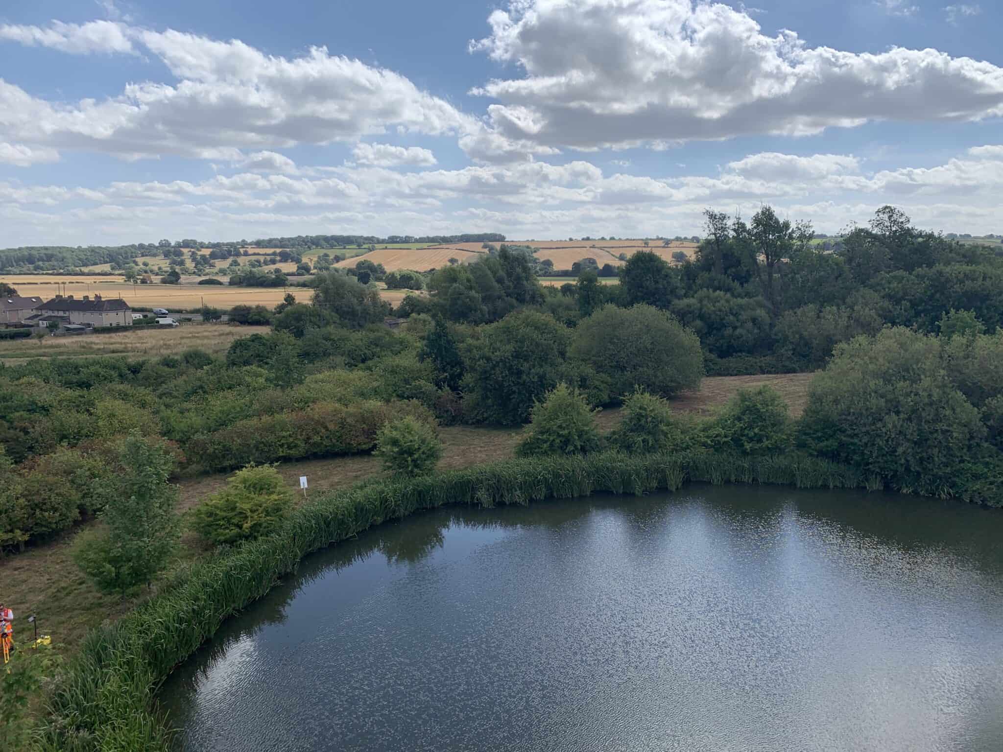
Sky Revolutions recently undertook an exciting project for Hanson UK, who required a hydrographic survey of a pond at their Ketton Cement Works site near Stamford in Lincolnshire.
Background
Hanson UK, a part of the HeidelbergCement Group, one of the largest building materials manufacturers globally, has been a longstanding client of ours. We have been providing efficient monthly stockpile surveys of coal, gypsum, limestone, and clinker at their site. Pleased with our previous work, Hanson UK approached us to undertake a new challenge: conducting a hydrographic survey of a large pond, which was a natural outcome of an old quarry pit.
Project requirements
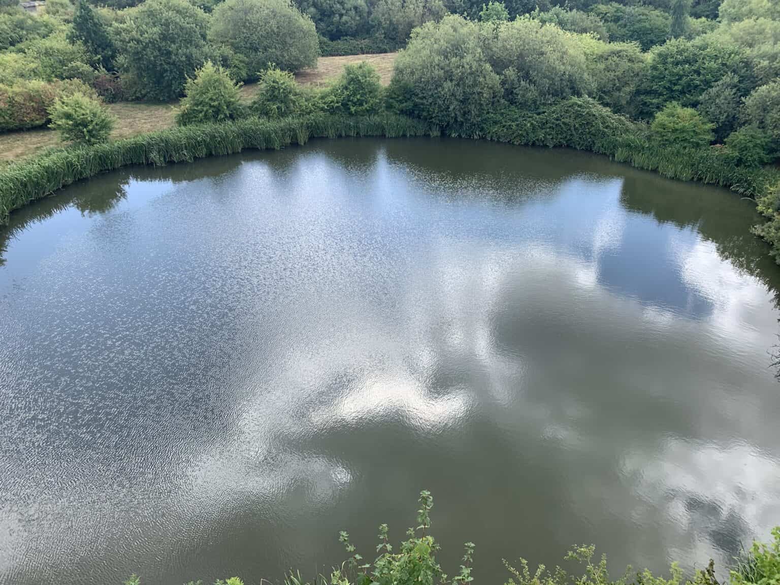
The primary goal was to collect accurate data on the water depth, soft bed (silt), and hard bed levels of the pond. This 44-meter-wide pond presented a unique challenge due to significant bankside vegetation. Traditional methods like sonar systems or drones were deemed unsuitable for this project. While sonar systems are typically used for sea beds and LiDAR drones can measure water depth, neither could accurately capture the silt levels essential for this survey.
Challenges and solutions
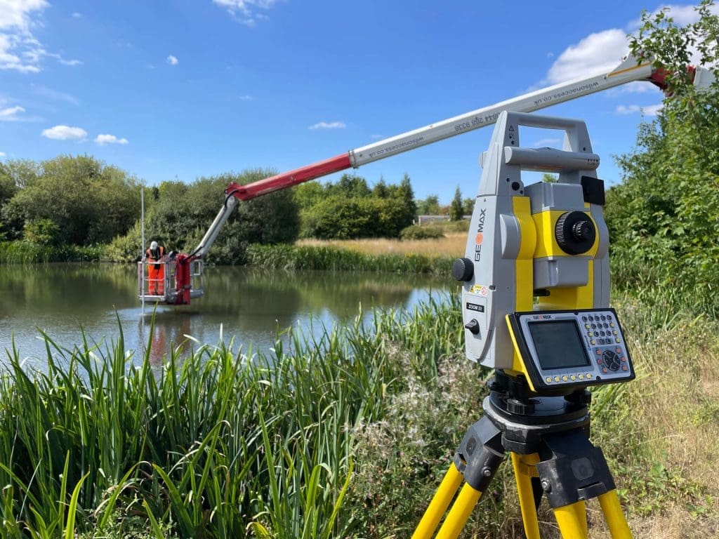
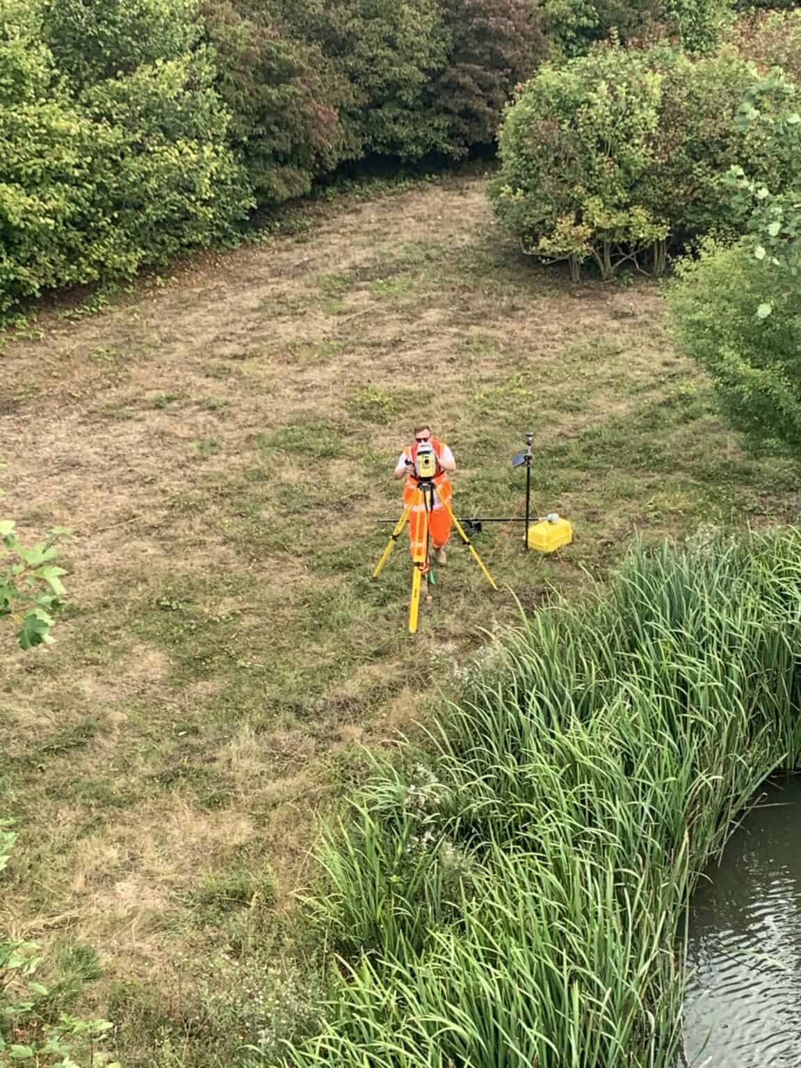
The significant bankside vegetation around the pond made traditional surveying methods impractical. Our solution involved the innovative use of a cherry picker, which provided the necessary reach and stability to perform accurate measurements from above the water surface. This method ensured minimal disturbance to the pond while providing high-precision data.
Methodology
To address the challenges, we decided on a hands-on approach. Our team conducted the survey using advanced technology and innovative methods:
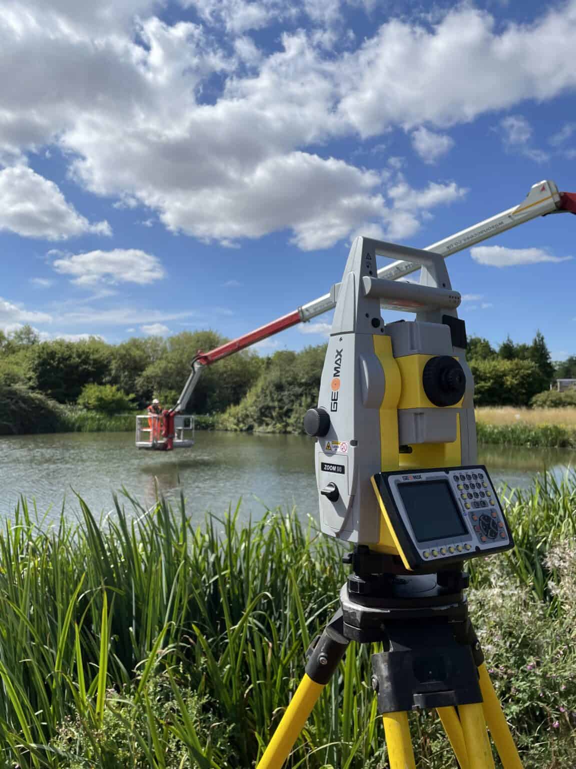
- Cherry picker platform: A cherry picker was stationed at the pond’s edge, allowing one team member to hover above the water. This unique advantage point enabled the use of a depth gauge to measure water and silt levels accurately across multiple points of the pond.
- Geomax station: We utilised a Geomax station, a state-of-the-art piece of equipment, to enhance the accuracy and efficiency of the survey. This technology facilitated precise data collection on the pond’s topography.
- Depth gauge: The depth gauge was crucial for measuring both the water depth and the levels of the soft and hard beds of the pond.
Results
The survey successfully collected comprehensive data on the water depth, as well as the soft bed and hard bed levels. This data was then presented to Hanson UK in a visual format, offering a clear and detailed representation of the pond’s underwater topography. The hands-on approach proved to be more effective than using drones or sonar systems, as it provided a complete and accurate picture of the pond’s characteristics.
Conclusion
Our hydrographic survey for Hanson UK demonstrates our ability to adapt and innovate in response to unique challenges. By employing a combination of advanced technology and creative problem-solving, we delivered precise and valuable insights for our client.
Does your business require a hydrographic survey or a topographical survey? Get in touch with our team of experts to discuss your business needs further. We are ready to provide tailored solutions for any surveying challenge you may face.
