
Aerial surveying with drones is rapidly transforming construction in the UK. A 2024 report found that 64% of UK construction firms (with 50+ staff) now use drones for site surveys – up from just 22% five years ago. Why? Because drones offer powerful construction survey solutions: they capture high-resolution images and data over entire sites in hours, not days or weeks. In practice, this means surveyors cover vast areas in a fraction of the time, while staying safely on the ground.
Key benefits of aerial surveys in construction include:
- Faster surveys: Drone surveys are up to 70% quicker than traditional methods. They easily cover large or difficult areas in a few hours, helping projects move forward without delays.
- High accuracy: Equipped with GPS, LiDAR, and high-res cameras, drones provide precise data. Some case studies show drone surveys cut survey time by 80%. The detailed 3D models help catch errors early.
- Better safety: As shown in our Lewisham Council case study, drones remove the need for surveyors to climb scaffolds or dangerous terrain by inspecting roofs and hard-to-reach areas remotely.
- Cost savings: One drone operator can do the work of several surveyors, cutting labour and equipment rental costs. Drone surveys can reduce site downtime by up to 40%, saving millions on big projects.
- Improved data & insight: Regular surveys create a digital record of site progress, helping spot problems early and supporting better planning and design.
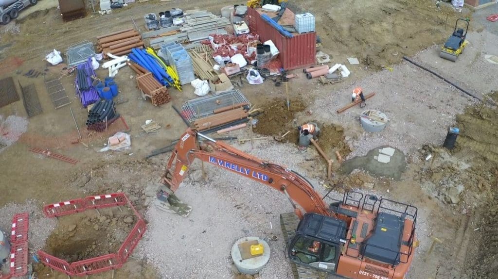
Explore our aerial surveying services in more detail.
How drones speed up surveys
The efficiency of aerial surveys in construction makes an attractive solution for tight deadlines and complex sites. Thanks to drones, surveyors can now map entire sites in hours instead of days or weeks. Major UK contractors have reported that using drones for survey and monitoring tasks delivers time savings of 20-30%.
Industry data confirms this trend, with one source noting a 239% year-on-year increase in drone use across construction. This boost in efficiency translates directly into cost and schedule savings – a key benefit for budget-conscious projects. With drone data available almost immediately, teams can respond faster, make informed decisions sooner, and keep projects moving without unnecessary delays.
Accuracy and data quality
Drones capture thousands of high-resolution images and LiDAR points, which are processed into highly detailed 3D models and maps. The level of detail available from drone data far exceeds traditional methods, enabling more precise measurements and comprehensive site records. In one stockpile survey, drone data proved significantly more accurate than ground checks, which can have error margins of up to 10%.
Frequent drone surveys help track changes over time, identifying issues like erosion or material loss early. When integrated with BIM and CAD systems, drone data provides teams with a clear, up-to-date view of site progress. Because measurements can be verified against the latest data, this approach helps prevent design clashes and reduces the risk of costly rework.
Safer site inspections
Safety is a top priority for construction sites, and drones greatly reduce risk. Any inspection that previously required a person up a ladder or scaffold can now be done remotely by drone, virtually eliminating fall hazards.
Beyond immediate safety, drones help with compliance and planning too. Aerial data provides a time-stamped record of site conditions, which can be used for health-and-safety audits. One article notes that UK builders are increasingly using drone footage in daily safety briefings to point out hazards (like unsecured perimeters) from a bird’s-eye view. These steps reduce incidents and can even lower insurance costs.
Cost savings and return on investment
The combined efficiency, accuracy, and safety of drone surveys translate directly into cost savings. Fewer site visits, reduced downtime, and lower labour and equipment costs mean big budget wins.
A UK housing case study found that drone roof inspections gave over 10x ROI by enabling preventive maintenance in lieu of expensive reactive repairs. Similarly, a UK council reported multi-million-pound annual savings by using drone data to extend asset life and avoid premature replacements. On construction sites, faster surveys prevent costly delays. For example, the Royal Institution of Chartered Surveyors (RICS) reports that drone deployment can reduce site downtime by up to 40%, a huge saving on major projects.
Many UK firms say drone surveys “pay for themselves” through efficiency gains. Even smaller contractors can access drone services without purchasing expensive equipment. With concrete results like a 20-30% reduction in time spent on survey and monitoring tasks, drones are proving cost-effective across the board.
UK case studies: Real-world impact
Major UK projects are already harnessing aerial surveys.
- HS2 high-speed rail scheme: HS2 uses drones for topographic surveys and environmental monitoring across 134 miles of track, improving planning while protecting wildlife. The HS2 teams also integrate drone data with BIM, keeping engineers and regulators in sync on project progress.
- London skyscrapers: Projects in Canary Wharf and Nine Elms use drones to inspect buildings in under an hour, checking curtain-wall alignment and thermal insulation, cutting days of scaffold work and rope access, as well as speeding up quality control and dramatically cutting risks.
- Solar farms: Thermal drone surveys enable quick detection of panel faults and efficiency losses across large solar sites. This real-time insight helps optimise performance and maintenance, reducing downtime and boosting energy yield.
These examples demonstrate how drone data is embedded in UK projects to deliver tangible savings, enhanced safety, and better outcomes.
Conclusion
Aerial surveying with drones is transforming UK construction. By combining speed, detail, and safety, drone surveying for construction projects delivers significant business value. Construction teams that adopt these construction survey solutions gain a competitive edge: they complete projects faster, keep workers safer, and control costs better. For construction professionals looking to improve accuracy, efficiency, and safety, drone surveying is no longer a question of ‘if’ – but when.
At Sky Revolutions, we help clients unlock the full value of drone technology – delivering fast, accurate, and safe surveys across complex UK construction sites.
Partner with a survey provider that brings insight, efficiency, and confidence to every project.


