
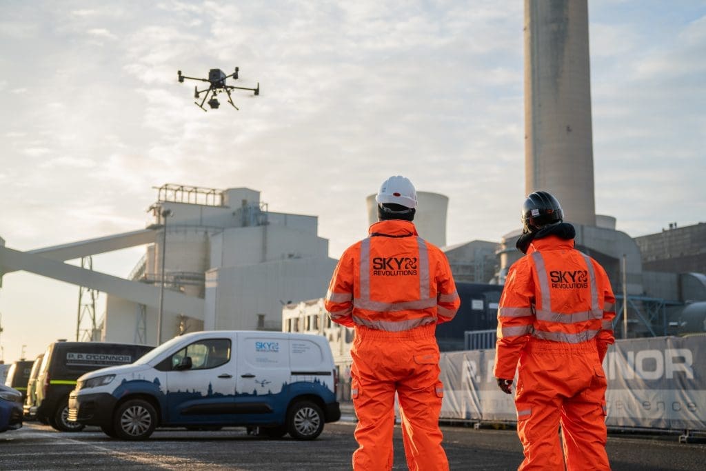
If you’re new to aerial surveying, you’re in the perfect place. As drone technology becomes increasingly accessible, more industries are exploring its potential to capture fast, reliable, and cost-effective site data from above. This beginner’s guide to aerial surveying explains what it is, why it’s rapidly becoming a go-to tool for various sectors, and how you can get involved too.
What is aerial surveying?
Aerial surveying is the process of capturing high-resolution images and data from the air using sensors mounted on a drone or aircraft. The technique enables high-accuracy mapping and monitoring of landscapes, construction sites, buildings, and infrastructure – often without the need to set foot on the ground.
Drones have made this process more efficient, safer, and more cost-effective than traditional surveying methods. Also referred to as drone surveying, drone site surveys, or aerial mapping, it provides a versatile solution for producing everything from detailed terrain models to precise visual records.
How does drone surveying work?
Survey by drone typically involves the following steps:
- Planning the flight: Surveyors define the area to be mapped, select the appropriate altitude, and plan the flight path to ensure full coverage.
- Data collection: The drone is equipped with cameras or sensors (such as RGB, LiDAR, or thermal) that capture images or point clouds while flying autonomously over the site.
- Processing the data: Special software stitches the images or sensor data together to create detailed maps, 3D models, or measurements of the site.
- Analysis and delivery: The processed data can be used for site progress monitoring, volume calculations, inspection, design planning, and more.
What are the benefits of aerial surveying?
Drone surveying delivers clear value, especially in challenging environments.
Benefits include:
- Safety: Drones can access hard-to-reach or hazardous areas without putting people at risk.
- Speed: Large construction sites that might take days to survey on foot can be completed in hours using drones.
- Accuracy: With the right setup and ground control, drone surveys can meet high accuracy standards suitable for engineering and planning.
- Cost efficiency: Reduced labour, time, and equipment use make aerial surveying an excellent economical choice.
- Versatility: Highly adaptable across industries, drone surveying supports everything from site assessments and structural inspections to mapping and environmental analysis.
Who uses drone site surveys?
Aerial surveying is now widely adopted across sectors such as:
- Construction and civil engineering: For monitoring site progress, assessing land, and capturing accurate data for planning applications, groundworks, and volume calculations.
- Industrial and logistics: To support asset management and showcase your build by combining high quality drone footage and timelapse content to produce stunning marketing videos.
- Energy and renewables: For inspecting solar farms, wind turbines, and energy infrastructure, identifying maintenance needs, and surveying challenging terrain with minimal disruption.
- Facilities management: To inspect roofs, façades, and hard-to-access areas, assess building condition, and support maintenance planning without the need for scaffolding or downtime.
Getting started with drone surveying
If you’re interested in pursuing a career in drones and aerial surveying, here are a few things to consider:
- Purpose: Know what you want to achieve – from capturing terrain data to monitoring construction or inspecting assets.
- Regulations: In the UK, drone operations for commercial purposes must comply with Civil Aviation Authority (CAA) rules, including pilot training and flight permissions.
- Expertise: Partnering with a qualified aerial survey provider, like Sky Revolutions, and enrolling in SRL Academy drone pilot training, ensures reliable results, especially if you’re dealing with complex sites or need survey-compliant outputs.
- Training: To operate commercially, you’ll need recognised drone pilot training. At SRL Academy, we offer professional courses designed to help you meet CAA requirements and build practical skills for aerial surveying.
Why choose SRL Academy for your drone pilot training?
- Hands-on practical experience with industry-grade equipment
- Expert instructors with years of aerial surveying experience
- Training aligned with CAA regulations and industry standards
- Support for beginners and professionals alike
Final thoughts
Aerial surveying is transforming how we collect and analyse site data – making projects safer, faster, and more precise. Whether you manage construction, land development, or environmental monitoring, drones offer a practical, scalable solution.
Need aerial surveying?
We can handle it for you – or train you to do it yourself. Get in touch to book a service or start your training.


