Background
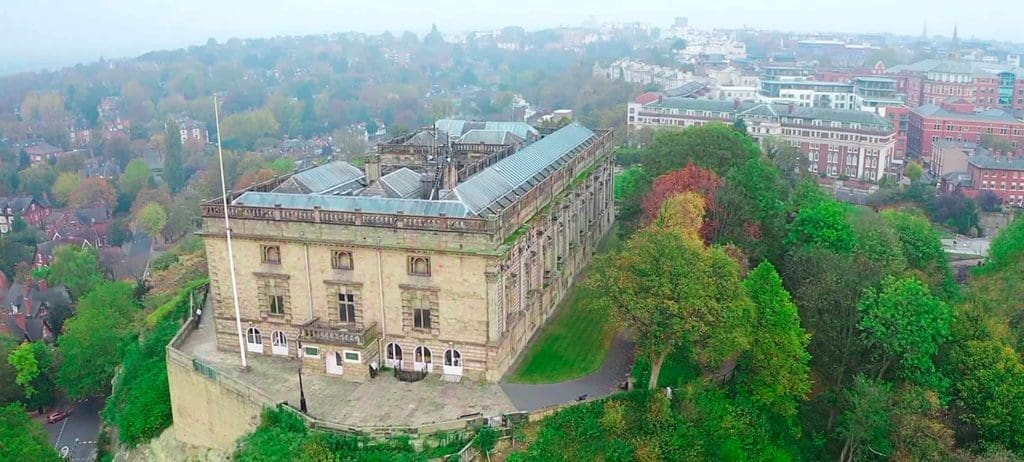
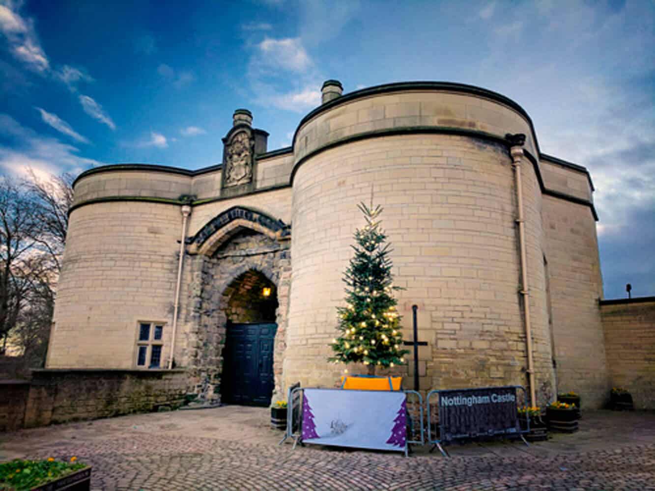
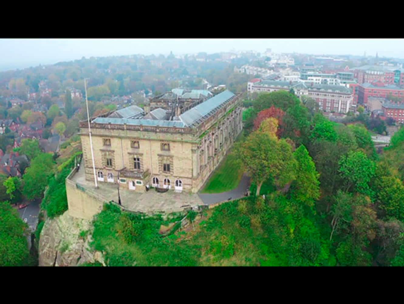
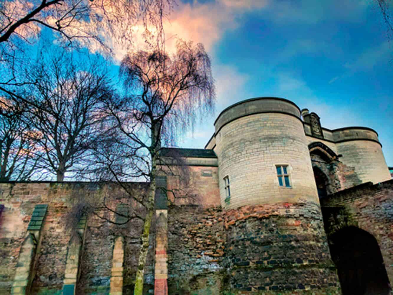
In 2018, Sky Revolutions was approached by a long-standing construction consultancy partner to assist with a high-profile restoration and construction project at Nottingham Castle. The consultancy firm needed aerial survey data to assess the condition of the castle’s structure, grounds, and the iconic Castle Rock on which the historic site stands. This data was crucial for planning the next steps in the £29.4 million redevelopment of Nottingham Castle, an ambitious project designed to rejuvenate this landmark while preserving its archaeological and historical significance.
Project requirements
The project’s key requirements were:
- Comprehensive aerial surveys of Nottingham Castle, Castle Rock, and the surrounding grounds.
- Detailed condition survey data on the rock face and specific parts of the castle’s structure.
- The ability to capture high-resolution images and zoom in on critical areas while maintaining stability and clarity, given the unique topography of the site.
The survey data was integral to the restoration and redevelopment of the Ducal Palace, the castle grounds, and the extensive cave systems beneath Castle Rock, all of which form a significant part of Nottingham’s rich historical and cultural heritage.
Methodology
- Site-specific challenges: Nottingham Castle is situated atop Castle Rock, a site known for its rugged topography and deep historical significance. Any aerial survey had to be precise, non-invasive, and capable of capturing minute details across challenging features like cliffs, crevices, and ancient structures.
- Equipment selection: Sky Revolutions deployed its DJI Matrice 210 drones equipped with two key cameras: the Z30 and X5S.
- Z30 Camera: The Z30 was selected for its 30x optical zoom and additional 6x digital zoom, providing an unparalleled 180x combined magnification. This camera’s ability to capture stable imagery, even at extreme focal lengths, allowed the team to inspect intricate details without risking the safety of onsite workers or the integrity of the castle’s structure.
- X5S Camera: The X5S camera, featuring a micro four-thirds sensor with a dynamic range of 12.8 light stops, was used to capture scenes with both bright skies and dark areas, such as the castle’s hidden cave systems. This was essential in delivering high-quality visual data, especially in difficult lighting conditions, a key requirement for accurately assessing the condition of historical sites.
- Survey process: The drones were flown across the castle and its surroundings, focusing on key structural elements such as the rock face and areas of the castle that required special attention. The Z30’s optical zoom enabled the capture of high-resolution close-up images of specific areas, helping to identify cracks, erosion, and other issues without the need for scaffolding or manual inspections. The X5S camera delivered stunning wide-angle shots, which helped to visually document the site in its entirety, including the dramatic contrast between the sunlit cliffs and shaded crevices.
Results
Sky Revolutions provided the construction consultancy with a comprehensive aerial survey report, which included high-resolution imagery, zoomed-in details of structural concerns, and a clear understanding of the condition of Castle Rock and the castle itself.
This data helped inform the next steps in Nottingham Castle’s rejuvenation project, allowing the consultancy firm to proceed with confidence in their planning and execution. The survey also played a vital role in preserving the archaeological integrity of the site, ensuring that any future construction work would be conducted with minimal disruption to its historical features.
Conclusion
Through the use of cutting-edge drone technology and expertly tailored camera equipment, Sky Revolutions successfully delivered the detailed survey data required to move forward with Nottingham Castle’s ambitious redevelopment. By using non-invasive aerial methods, Sky Revolutions was able to help the project team make informed decisions, balancing modern construction needs with the preservation of centuries-old history.
If you’re interested in aerial surveying for historical buildings and landmarks, contact us today. Our experienced team can discuss how drone technology can support your next project with accurate, safe, and efficient data collection.
