
Background
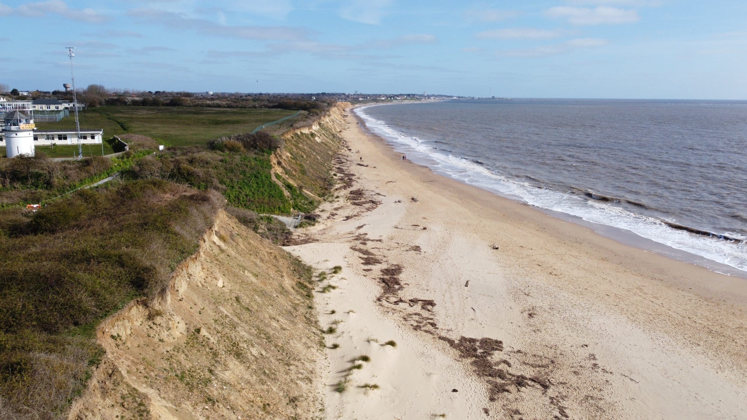
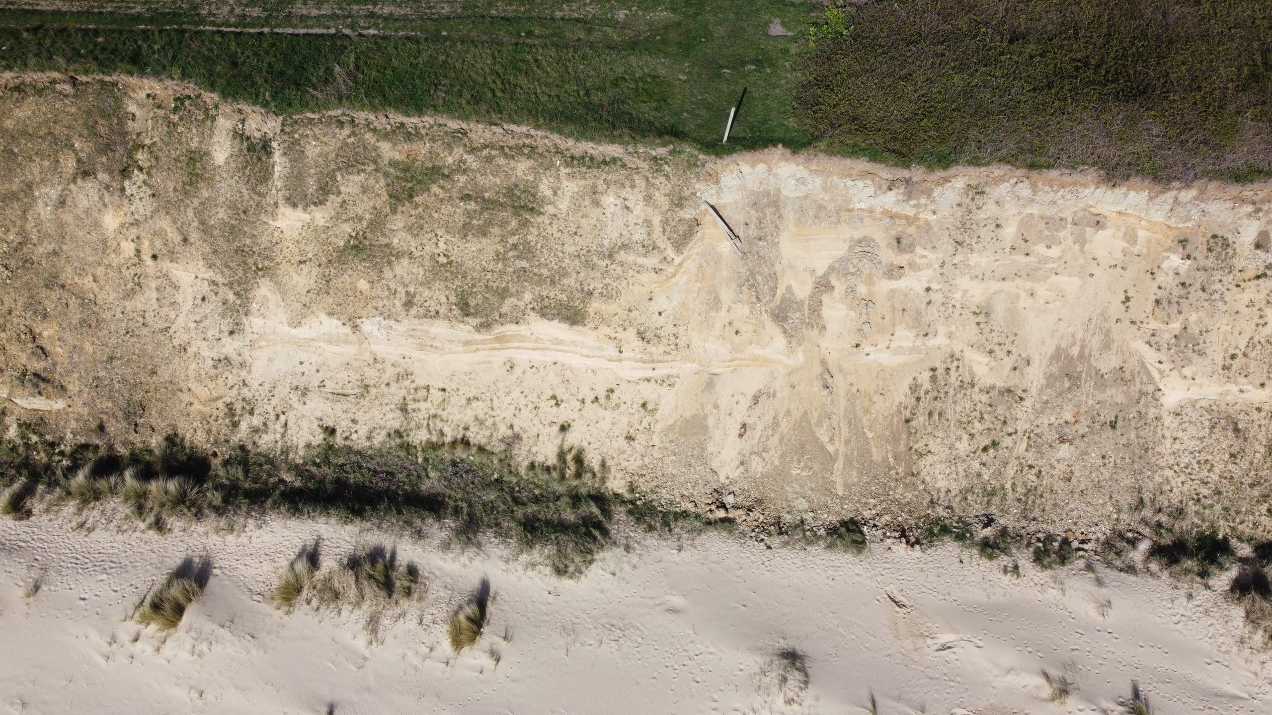
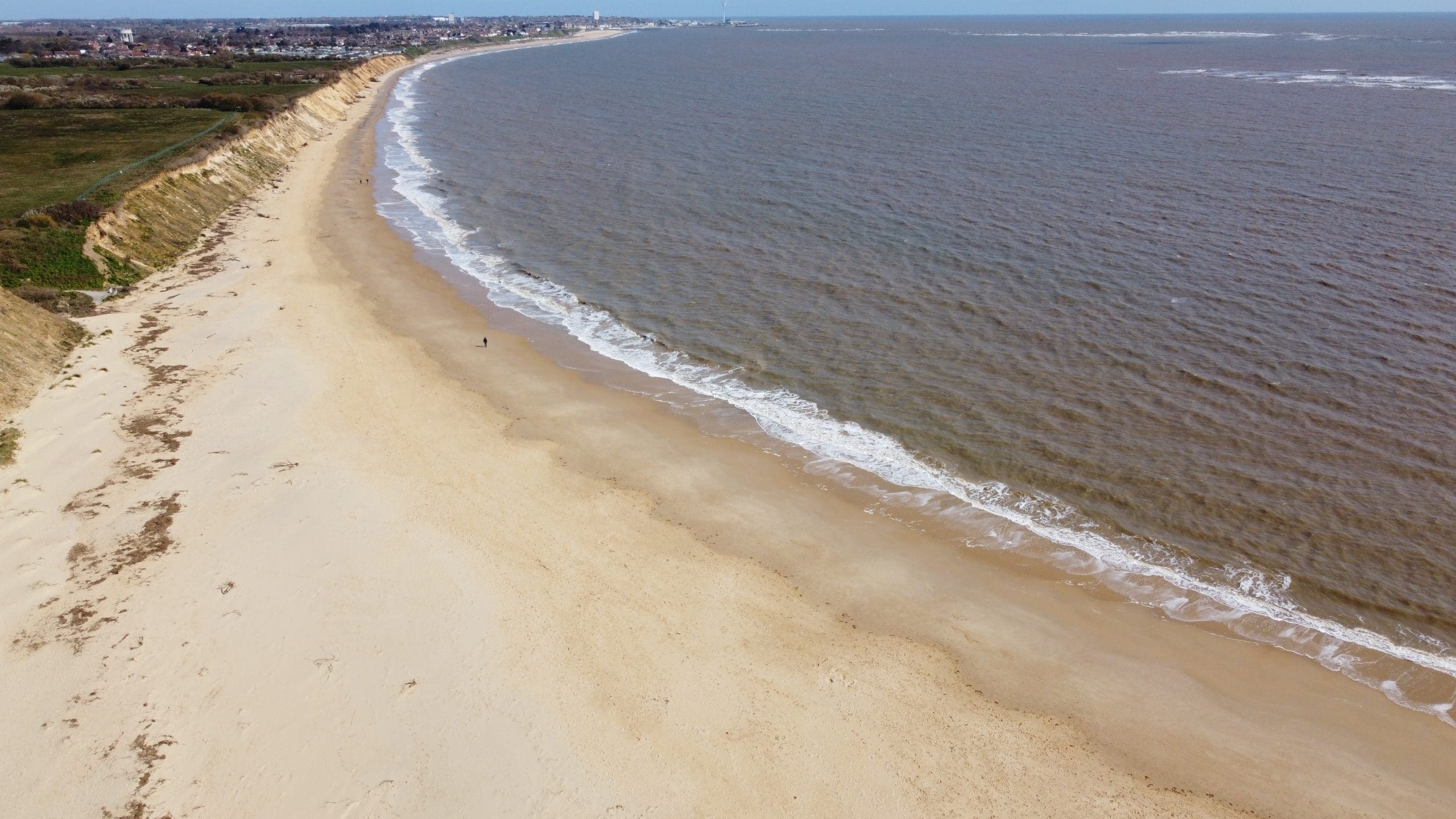
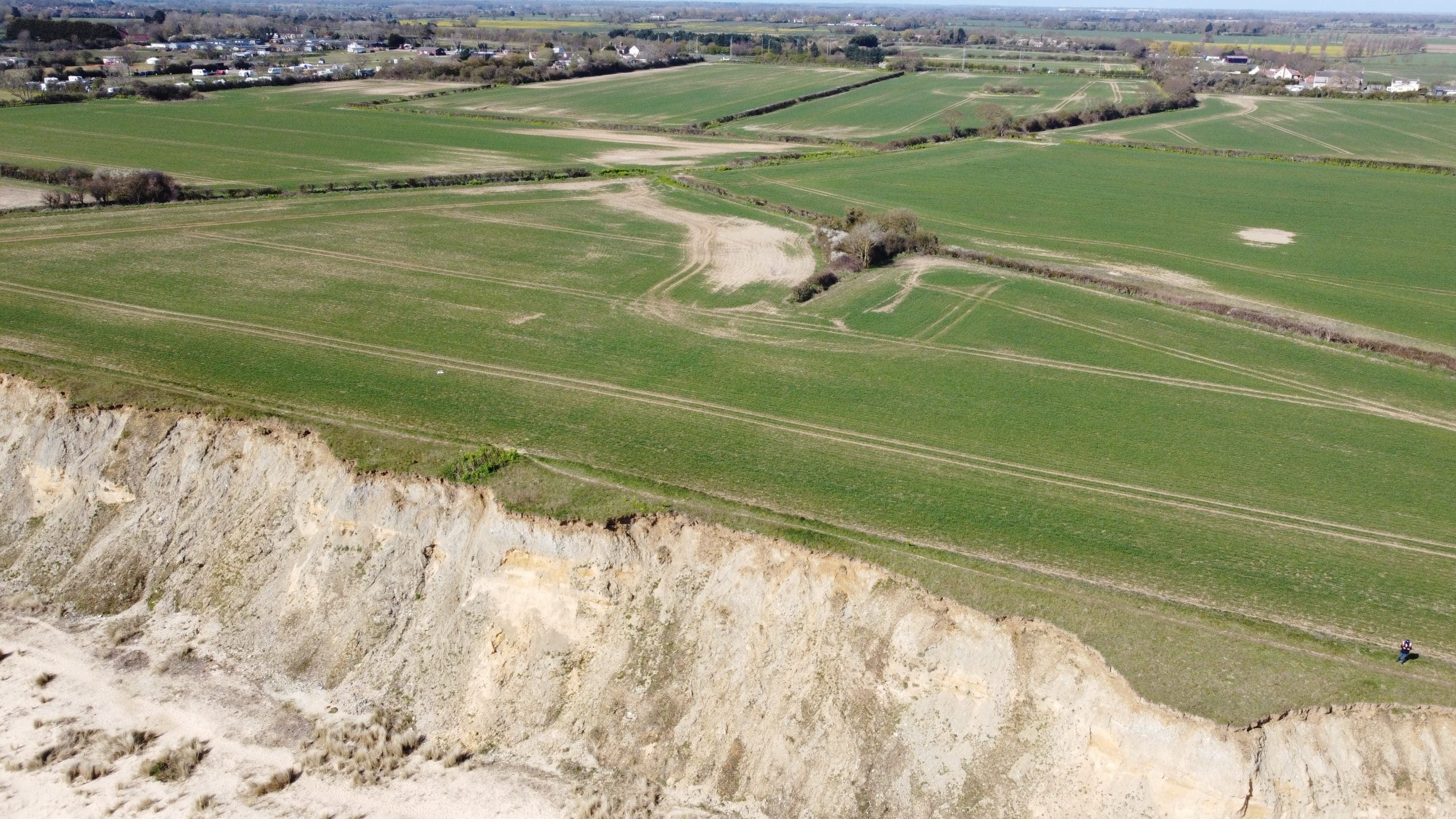
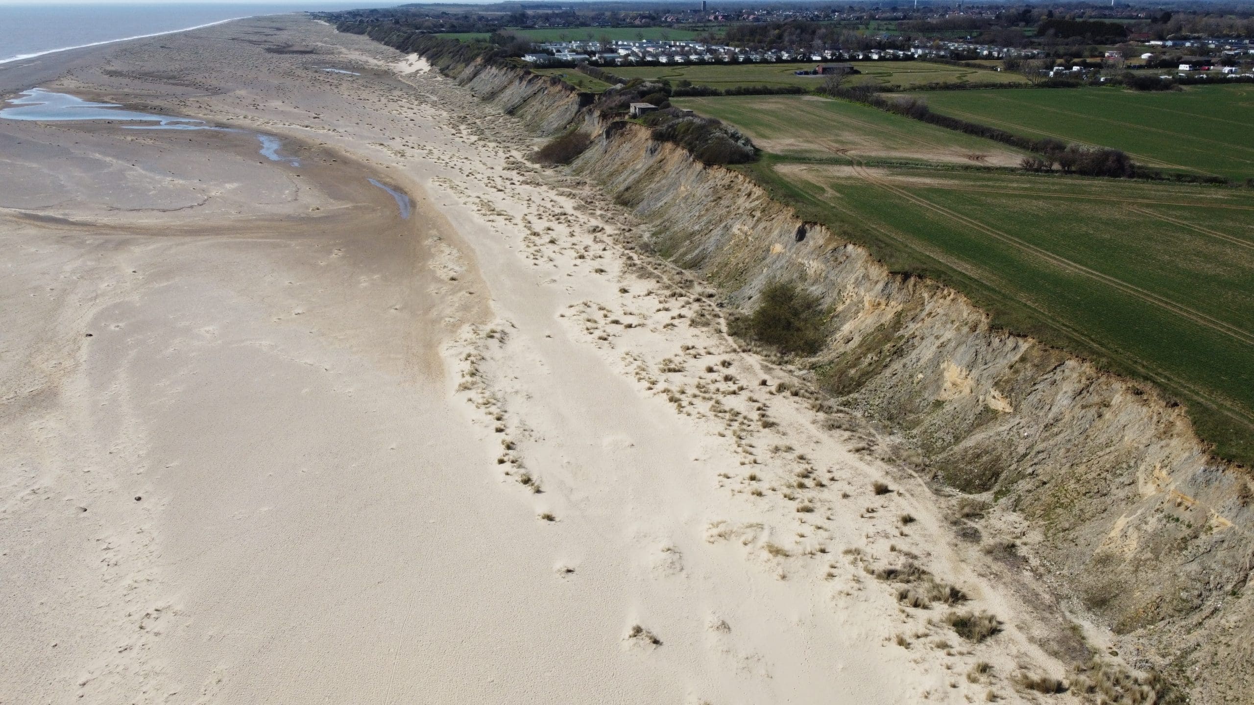
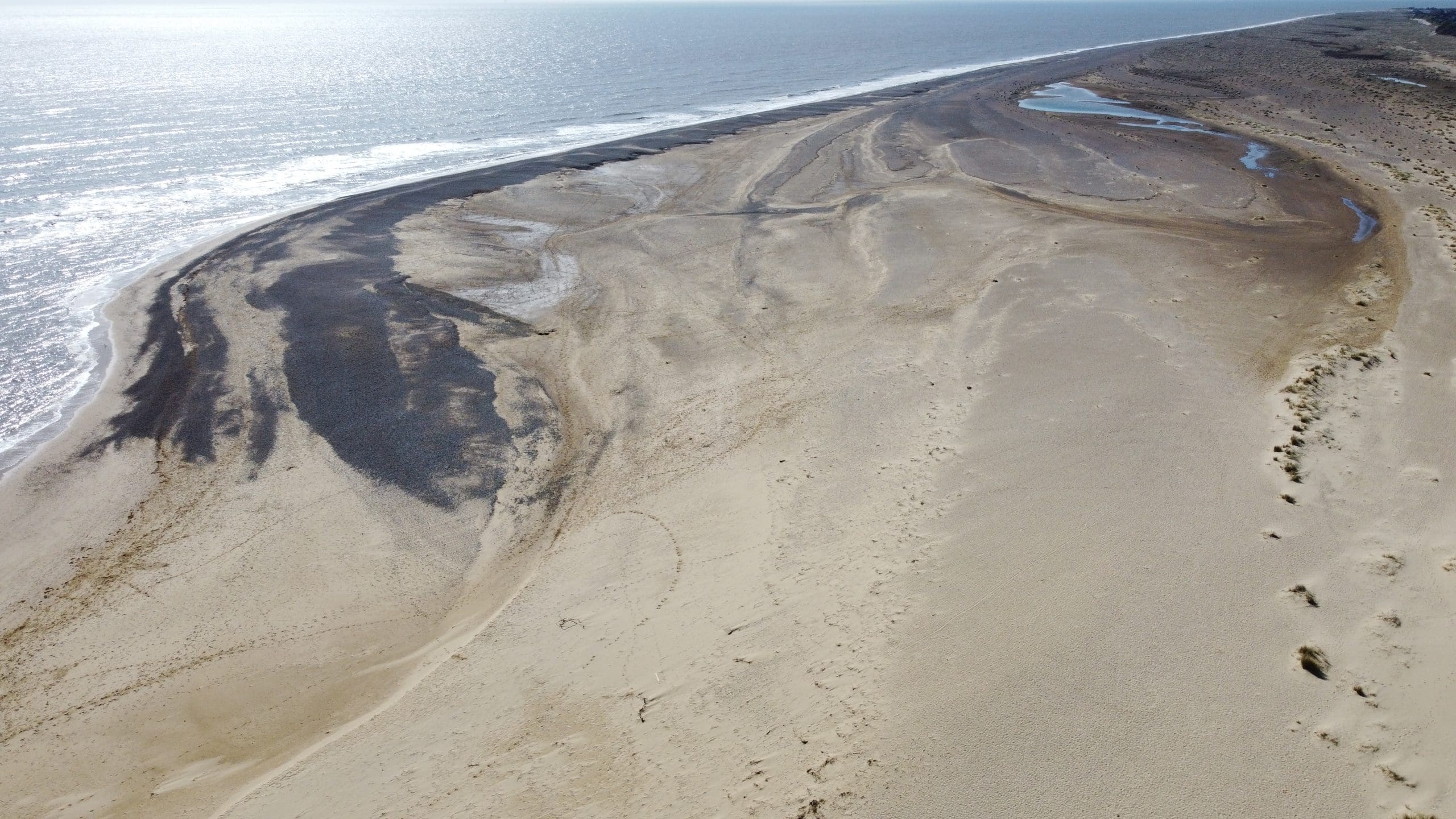
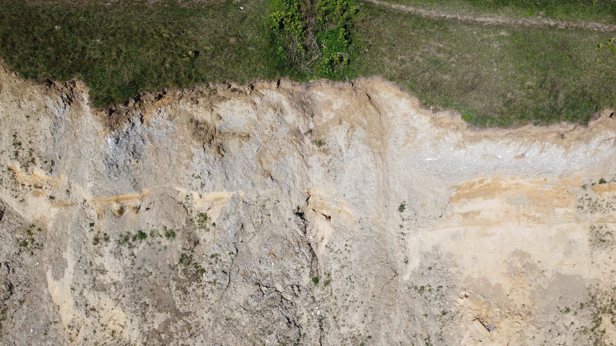
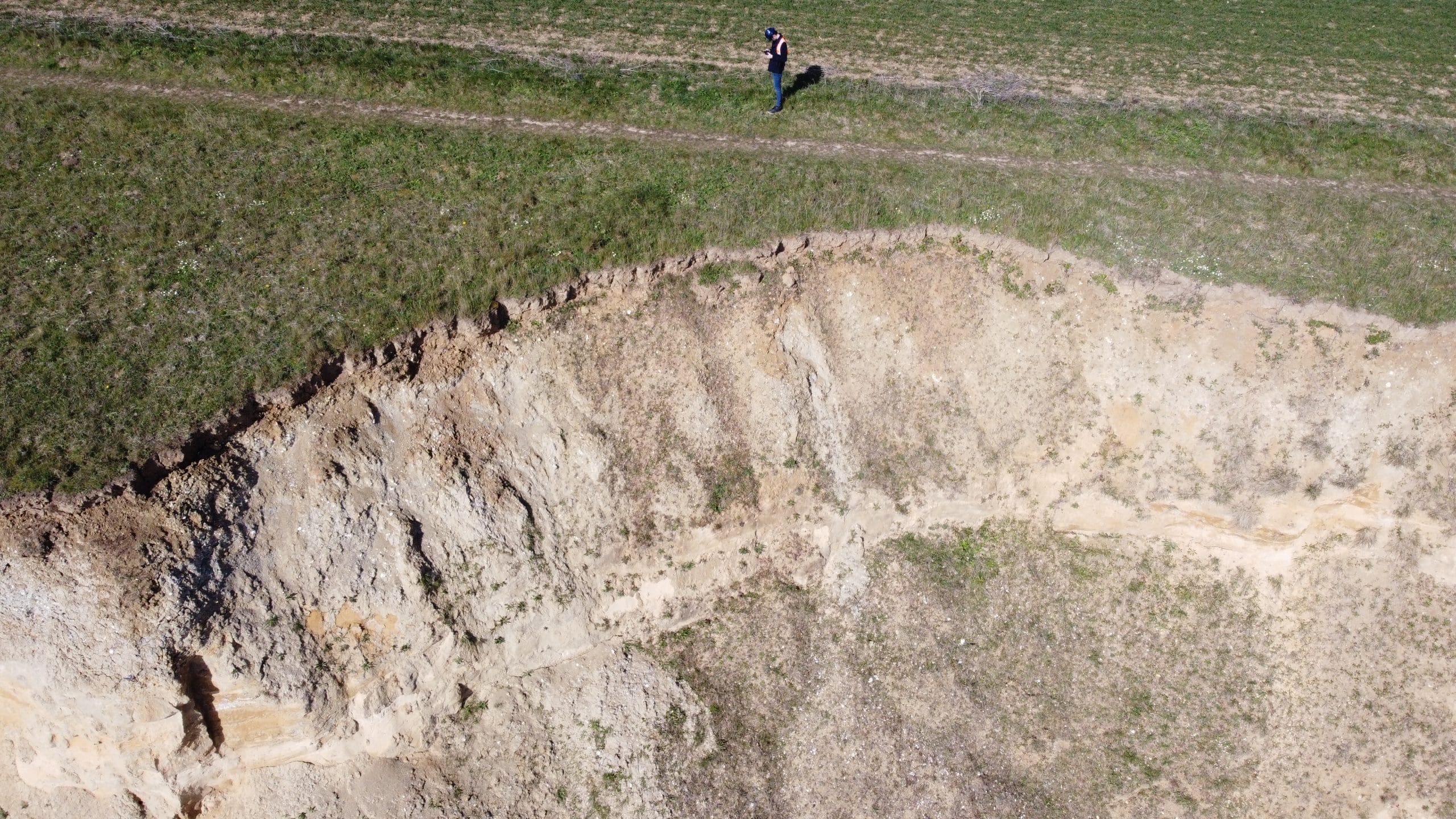
Sky Revolutions was approached by Coastal Partnership East and East Suffolk Council to conduct a comprehensive long-range aerial survey along the Pakefield and Thorpeness sections of the Suffolk coastline, located south of Lowestoft. The primary objective was to identify areas of erosion affecting beach levels and the soft cliffs in this region.
Project objectives
The main goals of the aerial survey were to:
- Assess and document the current state of coastal erosion in the specified areas.
- Provide accurate, high-resolution data and imagery to inform stakeholders about the ongoing changes to the coastline.
- Facilitate effective decision-making regarding coastal management and preservation strategies.
Challenges and solutions
The dynamic nature of coastal landscapes makes it challenging to capture accurate data regarding erosion, especially in offshore areas that may be difficult to access. Utilising drones for aerial surveys allowed for the rapid collection of high-quality imagery from vantage points that would be difficult to reach through traditional survey methods.
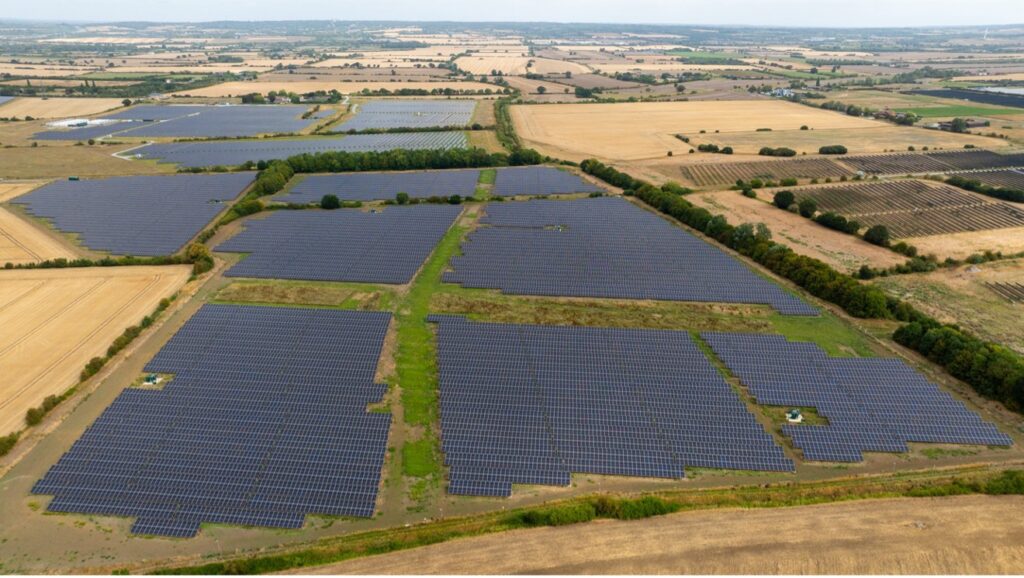
The expansive coastal area requiring assessment posed logistical challenges for data collection and analysis. The deployment of the eBee Geo drone, capable of covering over 160 hectares in a single flight, proved to be an effective solution. This long-range drone facilitated a comprehensive overview of the coastal regions within a limited timeframe.
Accurate data is crucial for stakeholders to make informed decisions regarding coastal management and intervention strategies. The eBee Geo was equipped with a highly accurate 20MP SODA Camera, ensuring that the images captured were of the highest quality. This provided stakeholders with reliable data for evaluating the state of the coastline.
Methodology
Initial planning and coordination: Sky Revolutions worked closely with Coastal Partnership East and East Suffolk Council to outline the survey objectives, target areas, and specific data requirements.
Deployment of drone technology: Under the management of lead pilot Mark Ryan, the eBee Geo drone was deployed to capture high-resolution images and videos of the coastline, focusing on areas of erosion.
Data collection: The drone conducted flights over the Pakefield and Thorpeness sections, gathering extensive imagery and data. The flight path was designed to maximise coverage and ensure that all areas of interest were documented.
Data processing and analysis: The captured data was processed to create an orthomosaic image of the coastline, along with detailed reports on identified areas of erosion. This provided the council with a visual representation of the current state of the coastal landscape.
Results
The aerial survey conducted by Sky Revolutions yielded a set of very high-resolution images, video footage, and an orthomosaic representation of the coastline. Within just three days, East Suffolk Council received detailed and accurate data that would inform their coastal management strategies.
Conclusion
The successful completion of the coastal erosion aerial survey highlighted the effectiveness of drone technology in providing fast, accurate data for large land areas, particularly in challenging coastal environments. Sky Revolutions is proud to have contributed to the important work of Coastal Partnership East and East Suffolk Council in monitoring and managing coastal erosion.
If you would like to learn more about long-range or coastal surveys, please get in touch with our sales team today.


