Understanding the layout and features of a site is a critical first step in any construction or development project. Topographic surveys, also referred to as land surveys, site surveys, or terrain mapping, play a vital role in this process, offering detailed insights into the physical characteristics of a given area. Whether you’re planning a commercial development, infrastructure project, or landscaping work, a topographic survey provides the accurate data needed to make informed decisions.
What is a topographic survey?
A topographic survey is often the first step before any construction or land development project, providing a detailed record of the terrain’s shape and features.
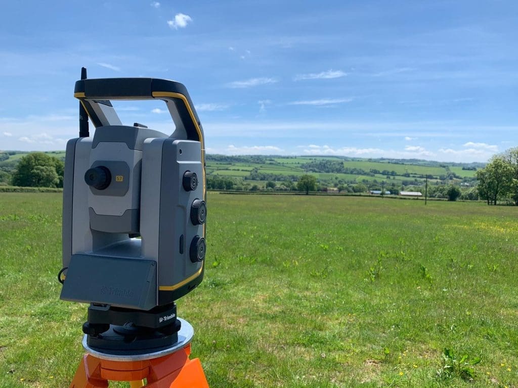
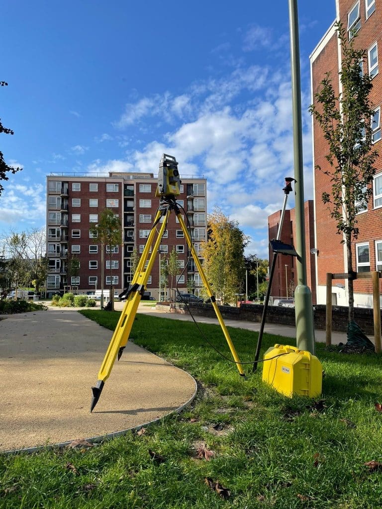
Surveyors use tools such as GPS receivers, total stations, or drones to measure the ground at various points. At Sky Revolutions, we use advanced equipment – including Trimble S7 total stations, Geomax Zoom 90, and drones fitted with LiDAR and photogrammetry sensors – to quickly and safely capture high-resolution terrain data, even on complex or hard-to-reach sites.
The output is an accurate map showing points of known elevation and contours, highlighting both natural features (trees, streams, slopes) and man-made elements (buildings, roads, fences, utility poles). Unlike a standard boundary survey, it offers a full three-dimensional view of the site’s condition – a crucial resource for engineers, architects, and planners.
This survey becomes a legal record of existing conditions and boundary lines to support permitting and land-use decisions. The data helps teams identify which areas are suitable for development and which may require special design solutions.
When do you need a topographic survey?
Topographic surveys are essential for a wide range of projects. Here’s how they support real-world applications:
- Building and landscaping: Architects and contractors use survey maps to position buildings, design retaining walls, or layout gardens with an understanding of slope and elevation.
- Infrastructure projects: Roads, bridges, and railways require accurate ground models to guide alignments, earthworks, and grading.
- Site development and utilities: Knowing terrain contours and underground utility lines helps design water, drainage, and electrical systems effectively.
- Demolition and clearance: Before and after a demolition project, surveys confirm existing structures and verify that the site is cleared to specification.
- Environmental and flood risk: Terrain maps are used to model water flow and assess flood risk, which is key for planning mitigation strategies.
- Facilities and as-built mapping: For industrial or mining sites, regular surveys help manage stockpiles, monitor change, and support maintenance planning.
One example of this in action is our site analysis project for Workplace Property, where a detailed topographic survey helped verify critical measurements, assess drainage challenges, and support architectural design for a large commercial development. Combining aerial data with traditional surveying techniques, the project ensured smooth planning from concept to build. Read the full case study here.
Key benefits for project teams
Topographic surveys are essential for guiding project planning in construction, infrastructure, and land development. They bring precision and clarity to the early design stages, helping teams plan more effectively. Key benefits include:
- Accurate design baseline: Engineers and planners start with a true representation of the land, avoiding errors that stem from outdated or assumed data.
- Drainage and grading planning: Knowing the exact terrain allows teams to design effective drainage and grading plans, helping to prevent future erosion or flooding on site.
- Regulatory compliance: Up-to-date survey records are often required for building permits, showing authorities where key features sit relative to property lines.
- Risk mitigation: By revealing potential issues early, teams can implement proactive solutions, reducing delays and unexpected costs.
- Cost and time savings: With reliable data, contractors can estimate earthwork and materials more precisely and avoid rework during construction.
- Efficient project coordination: Everyone from architects to site managers works from the same accurate dataset, minimising errors and misinterpretation.
Final thoughts
Topographic surveys are a cornerstone of site analysis and planning in construction, infrastructure, and development projects. By accurately mapping land features and elevations, these surveys give professionals the detailed terrain models they need to design safely and efficiently. From identifying slopes and drainage paths to calculating earthwork volumes, the information gleaned from site surveys helps teams mitigate risks and control costs. In modern construction work, no project plan is truly complete without a high-quality topographic survey. It lays the groundwork for successful project execution by ensuring that every decision is informed by the precise reality of the land.
Need accurate terrain data for an upcoming project?
At Sky Revolutions, our experienced surveyors use drone and ground-based methods to produce high-quality topographic surveys tailored to your site. Explore our topographic survey services and see how we can support your site planning from day one.


