Surveying is evolving, with drones leading the way. Across the UK, professionals are turning to drone survey services for faster, safer, and more accurate data collection. This shift is reshaping industries, such as construction, where efficiency, safety, and cost-effectiveness are key. Our introduction to drone surveying services will help you navigate this growing field, covering the benefits, applications, and key considerations when choosing a provider. With expert insights, you’ll be equipped to make informed decisions and maximise the value of drone technology.
What are drone survey services?
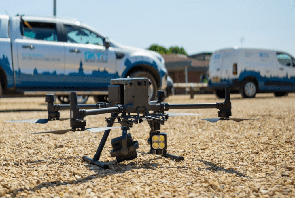
Drone survey services, or aerial surveying services, involve the use of unmanned aerial vehicles (UAV) equipped with advanced imaging, LiDAR, or photogrammetry technology to capture accurate geospatial data.
Benefits of drone surveying
- Faster data collection and project turnaround: Drone surveys streamline the process, providing efficient data capture and reducing time on site – beneficial for projects with tight schedules.
- Increased accuracy and high-resolution data: With LiDAR and high-resolution photogrammetry, drones deliver centimetre-accurate geospatial data, reducing errors and improving efficiency.
- Improved safety and compliance with UK regulations: Drones eliminate the need for surveyors to work in hazardous environments. They also comply with Civil Aviation Authority (CAA) regulations, ensuring safe and legal operations.
- Cost-effective solutions for large-scale projects: Drone surveys reduce personnel, equipment, and site time, offering significant savings. Faster data collection also helps avoid costly project delays.
Applications of drone surveying
Drone surveying is used across multiple sectors in the UK, including:
- Construction & civil engineering: Enhancing site planning, progress tracking, and regulatory compliance with accurate aerial data.
- Industrial & logistics: Optimising facility inspections and warehouse layouts with high-quality drone imagery.
- Local government: Supporting urban planning, building management, and emergency response mapping.
- Energy & renewables: Inspecting power lines, wind turbines, and solar farms using thermal imaging and high-resolution data.
- Demolition: Improving site safety, debris mapping, and environmental impact assessments.
- Facilities management: Conducting rooftop, HVAC, and building exterior inspections for maintenance and energy efficiency.
- Telecoms: Inspecting cell towers and masts while assessing network coverage and signal quality.
- Mining & quarries: Performing stockpile surveys to determine the volume of material removed (or needed for fill), for large scale excavation sites.
Choosing the right drone surveying provider
Choosing a drone survey provider is critical to ensuring quality data and compliance. Here are some tips:
- Experience and certifications: Ensure you are working with experienced drone professionals in the UK who hold the approved certifications and have extensive experience in the field.
- Technology and equipment: The right technology can make a big difference. Providers should use up-to-date UAVs, LiDAR, photogrammetry equipment, and processing software.
- Customer reviews and case studies: Look for providers with a proven track record and ask for case studies to see how they’ve handled projects similar to yours.
- Post-survey support: A reliable provider will offer guidance on making the most of your survey data and any additional services that enhance its value.
- Regulatory compliance and data privacy: Ensure the provider complies with CAA regulations and data protection laws, including GDPR, to safeguard sensitive information.
What’s next for drone surveying?
The UK drone surveying industry is evolving rapidly, with innovative technologies and applications constantly emerging. Drones are becoming an even more integral part of the surveying process, unlocking new possibilities in areas such as urban planning, environmental monitoring, and disaster management. Sky Revolutions will be staying at the forefront of these developments, ensuring we continue to deliver cutting-edge solutions to our customers.
Conclusion
Drone surveying services are revolutionising how data is collected, providing faster, more accurate, and cost-effective solutions across various industries. With the ability to enhance safety, reduce project turnaround times, and improve accuracy, drones are becoming an essential tool for modern surveying practices. As technology continues to advance, the possibilities for drone surveying in the UK are boundless.
Ready to experience the benefits of drone surveying for your project?
Our expert team at Sky Revolutions is here to provide the precise, reliable data you need. Get in touch with us today and take the first step towards transforming your surveying process.


